Mining Measurement - Critical is an Understatement
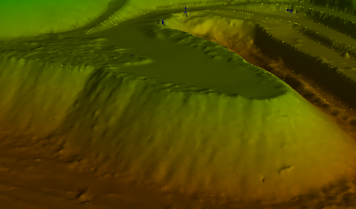
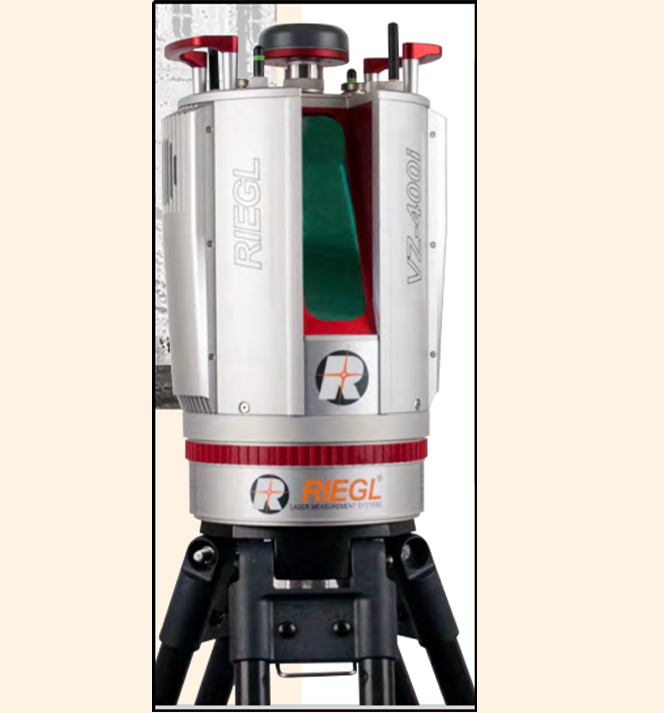
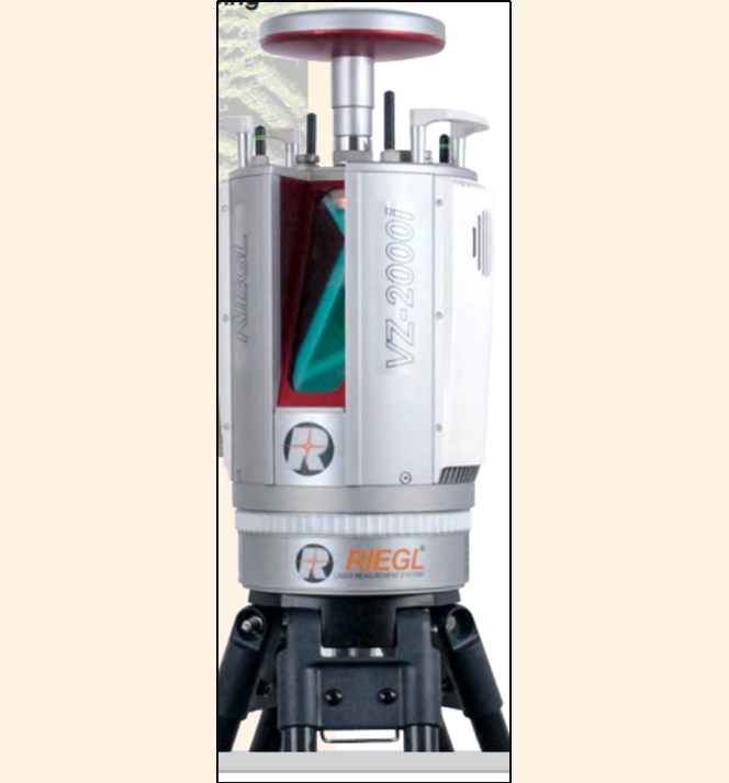
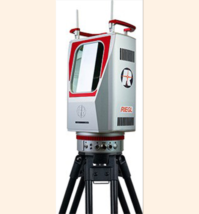
The RIEGL VZ Terrestrial Laser Scanners have cutting-edge 3D LiDAR Scanning Technology. Our 3D Scanners fire rapid pulses of laser light at a surface up to 5,00,000 pulses per second and a sensor inside the scanner measures the amount of time it takes for each pulse to bounce back. By repeating this process very fast, the Scanner builds up a realistic 3-D scenery called as “point cloud” of the Mine.
Our Laser Scanning solutions based on RIEGL 3D Terrestrial Laser Scanner are being used in India for various mining measurement applications such as:
Generating 3D Digital Terrain Model (DTM).
Surveying and georeferencing of a mine under observation.
Calculating volume between two surfaces in a mine.
Calculating Volume cross-section wise in a mine
Calculating area, distance, angle, and ‘elevation difference’ between the two points in a mine.
Creating Crests and Toes (Break lines) of a mine.
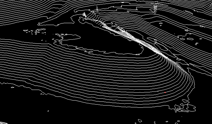
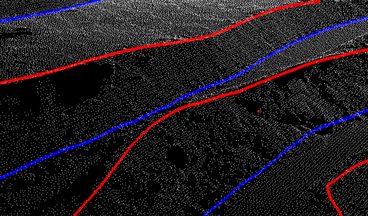
Generating cross-sections and contours of a mine.
Slope angle measurements and monitoring in a mine.
