Landslide Monitoring
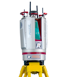
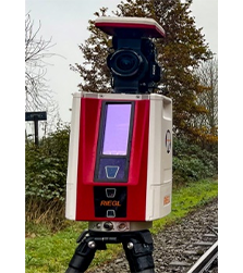
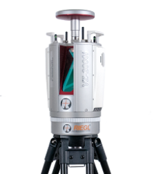
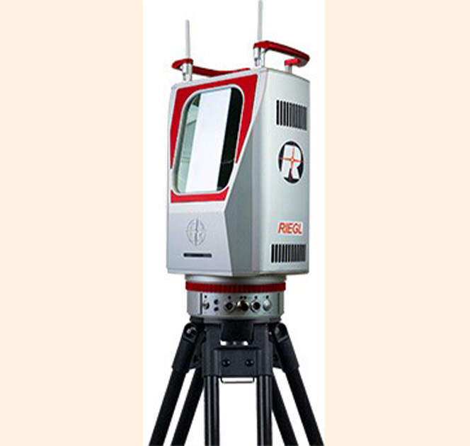
Our Laser Scanning solutions based on RIEGL 3D Terrestrial Laser Scanner are being used for various Landslide monitoring applications such as:
- Generating 3D Digital Terrain Model (DTM).
- To detect movements of landslides from very far away.
- No need to go to the landslide prone zone.
- A time series of scans allows the prediction of a possible slope failure.
- Georeferencing of any area under observation.
- Calculating area, distance, angle, and ‘elevation difference’ between any two points in an area of interest.
- Generating cross-sections and contours of an area of interest.

